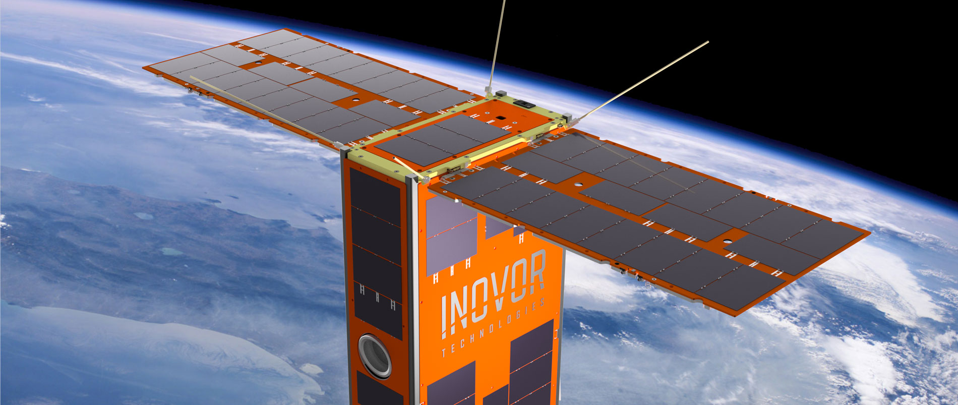
The HyperScout instrument, partly developed by cosine Remote Sensing under an ESA InCubed co-funding activity, has been adopted as the hyperspectral imager of choice for Australia’s first satellite mission funded at state level. Scheduled for launch in 2022, the Kanyini is based on a 6U CubeSat platform and is being engineered by SmartSat CRC and two South Australian companies.
The SASAT1 Kanyini project is aimed at promoting and developing the South Australian space industry through the launch of a CubeSat nanosatellite with Earth observation and Internet of Things (IoT) payloads. With funding from the South Australia state government, Kanyini is a collaboration between local entities the SmartSat Cooperative Research Centre, Myriota and Inovor Technologies.
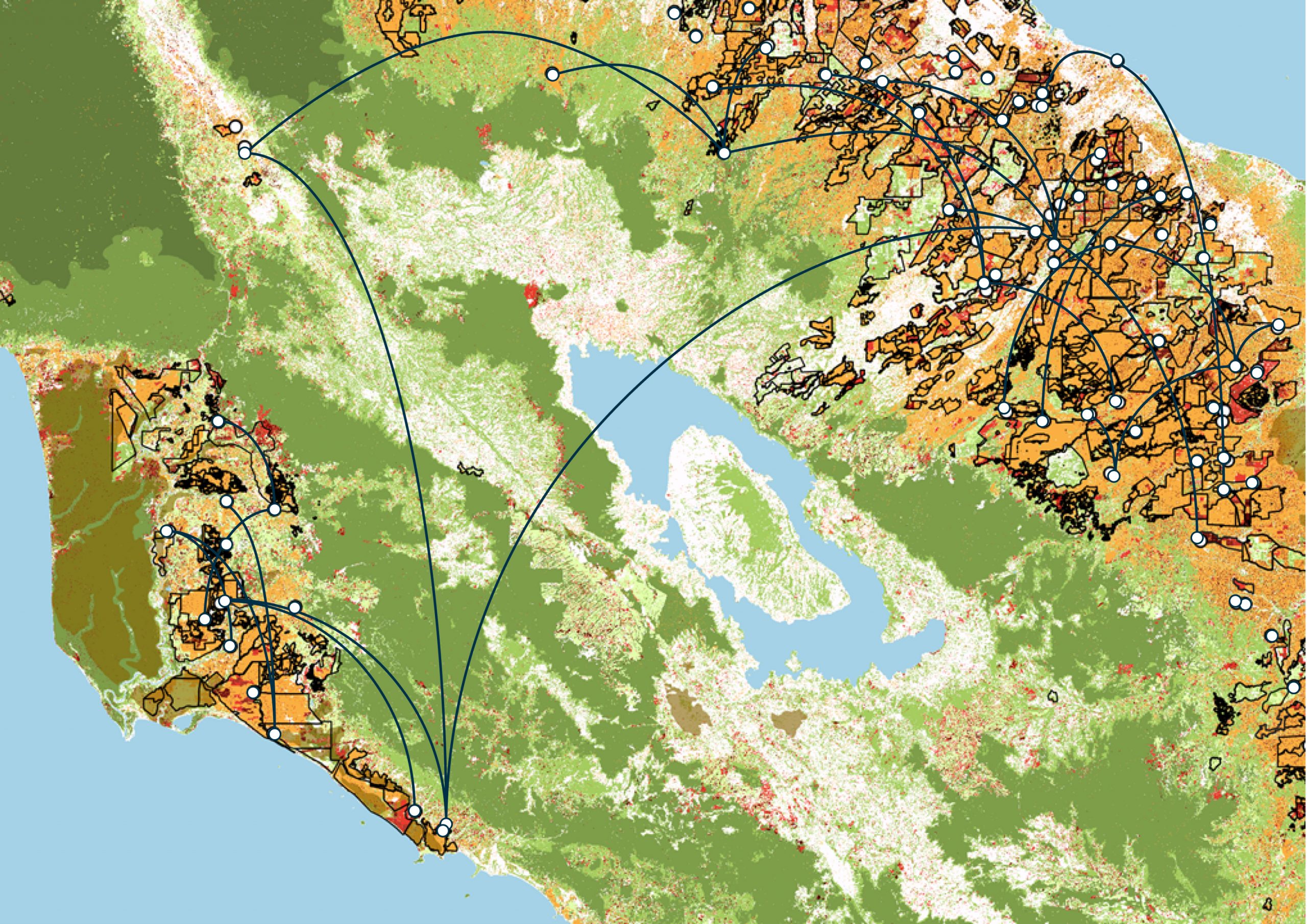
Data collected from the project is intended to support informed decision making in the areas of water usage, climate policy and disaster management. There is also an associated educational programme, which commenced with a competition in schools to name the satellite itself. The winning entry, ‘Kanyini’, is a Pitjantjatjara aboriginal word that describes the principle of responsibility and unconditional love for all of creation.
The HyperScout 2 is a three-in-one instrument that combines hyperspectral and thermal imaging with high-level data processing and Artificial Intelligence (AI) capabilities. Available for deployment on satellites of any dimensions, the imager is however particularly suited to small platforms built around a smart blend of custom-made and commercial off-the-shelf (COTS) components. The HyperScout series was designed and brought to production by the Remote Sensing business unit of Dutch company cosine, with initial co-funding support provided by the Dutch government through the Φ-lab InCubed programme.

“We needed a compact imaging payload that gave us a much more nuanced Earth view than a three-band sensor,” explained Pete Nikoloff, Kanyini Mission Director at SmartSat. “The spectral range of the HyperScout 2 enables an extremely detailed analysis of land cover, benefitting research into crop health, forests, inland water and coasts, while the thermal infrared imager will provide vital information on heat generators in South Australia. In parallel with the development phase, a research programme is being formulated with SmartSat’s partners to make the best use of the systems once in orbit.”
cosine Remote Sensing Managing Director Marco Esposito underlined the AI credentials of the company’s brainchild: “The HyperScout 2’s onboard processing power will give Kanyini the opportunity to utilise advanced AI algorithms directly in orbit, ultimately reducing data traffic requirements or accelerating decision making for rapid-response scenarios.”
ESA Scout System Manager Massimiliano Pastena sees a crucial link with the ethos of the Φ-Department: “We’re very happy that HyperScout 2 has been selected for Kanyini, as it provides another example of an InCubed-supported initiative that subsequently grows and enjoys take-up at a global level. We also found the name of the satellite, with its reference to care and responsibility for our planet, an inspired choice that matches well with our approach to future Earth observation.”
“The purpose of the ESA InCubed Programme is to support and develop the commercial EO sector through de-risking business-focused products and services along the EO value chain,” added ESA InCubed Programme Manager Amanda Regan. “Improving Hyperscout was one of the first InCubed activities and is a good case in point of where we were able to help de-risk a commercially focused development. We are very pleased to see that Hyperscout 2 has been picked up by the Kanyini project and we wish them every success.”
To know more: cosine, HyperScout 2, Kanyini, SmartSat