Sat4Flood online workshop

In co-operation with the Dutch Network Levee Monitoring, the Dutch company Miramap is organising an online workshop dedicated to the ESA InCubed co-funded activity Sat4Flood.

The workshop will be on Thursday November 26th, from 1:00 to 3:00pm and held entirely in Dutch.

The speakers will explain the functioning of Sat4Flood and show a demo of this product. Two proof of Concept participants, Vlaamse Waterweg (BE) and Arcadis (NL), will also present their first experiences with the application.

To register, please send an e-mail to netwerk@dijkmonitoring.nl


When: 26 November 2020
Where: online


To know more, see the full programme and register: http://www.dijkmonitoring.nl/

Announcement of an InCubed call for Greek companies and possible international partners

ESA InCubed programme just published an open call for Greek companies and partners.

The aim of the Investing in Industrial Innovation (InCubed) programme is to support and develop the Earth Observation (EO) commercial sector. The objective is to de-risk innovative and commercially viable products and services based on EO data.

The focus of Greece within the InCubed is to develop national end-to-end spaceborne capabilities aiming to contribute to a dedicated satellite constellation to provide commercial Earth observation products and services, through international cooperation and focused on addressing national needs

For more information please go to ideas.esa.int, register on the platform and follow the specific Greek InCubed campaign channel.


To know more about:

AARSE Conference 2020

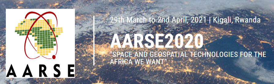
The 13th AARSE International Conference – Earth Observations and Geospatial Science in service of Sustainable Development Goals will be held in Kigali (Rwanda), from 29th March to 2nd April, 2021.

Under the theme “Space and geospatial technologies for the Africa”, this conference will be a major event in the African and international community of Earth Observation and geo-spatial information science in 2020.

The event is organised by the Institut d’Enseignement Supérieur de Ruhengeri (Ines-Ruhengeri) and AARSE. The primary objective of this non-political scientific organisation is to increase the awareness of African governments, the private sector and society at large, about the empowering and enhancing benefits of developing, applying and responsibly utilising the products and services of EO Systems and Geo-information Technology. AARSE members includes professional individuals, institutions and national associations from across Africa and worldwide. These members work in domains related to remote sensing, photogrammetry, and geographical information science.

The AARSE international conference is conducted biennially across Africa, alternately with the AfricaGIS conference, and is the premier forum in the continent for research on remote sensing technologies and geospatial information science, gathering leading scholars from the remote sensing and related communities.


When: 29 March – 2 April 2021
Where: Kigali, Rwanda


To know more about it: https://aarse2020.org/index.php