

 Payload
 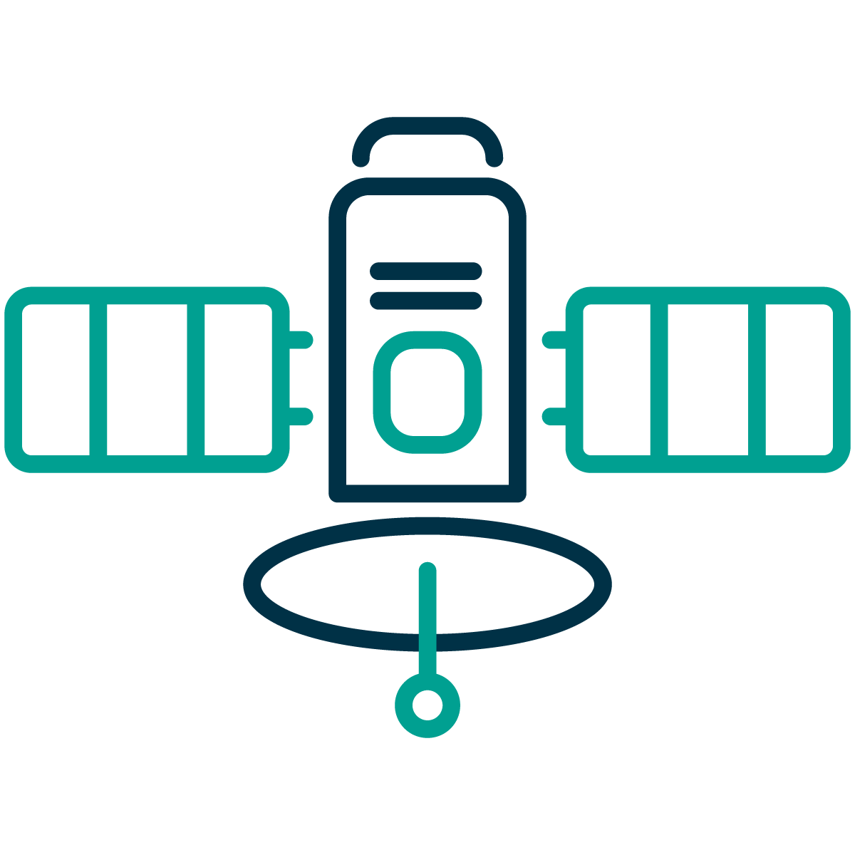 Platform
 Earth Observation missions generate a vast amount of data, which often presents key information for decision makers. These missions commonly collect hundreds of gigabytes per day, making it impossible to download back to Earth in a cost-effective way. However, up to 90% of this data is noise lacking any added value and thus cannot be further utilised by the end users. SKAISEN has the capability to detect, analyse, and prioritise objects of interest within non-cloudy images. This enhancement addresses two critical challenges in satellite operations:
SKAISEN is designed to be highly reusable and independent of the sensor and processing unit selected for the mission. This ensures its availability for any Earth Observation mission and its highly competitive price. By leveraging the AI-driven SKAISEN solution, customers can significantly reduce their costs associated with the ground segment infrastructure while maximising the valuable data downlink, as well as reducing the time to get to actionable data to the end-users.
The key customer segments targeted by SKAISEN are Mission Owners, System Integrators, Payload Developers and Mission Operators, Governmental and Commercial Terrestrial Customers, and Maritime Security Operators.
The main challenges of these customers in data access are:
SKAISEN aims to bring a customer-friendly solution for acquiring valuable data only, reduce mission costs and time to delivery.ly solution for acquiring valuable data only, reduce mission costs and increase mission profits.
Mission Owners, System Integrators, Payload Developers and Mission Operators all over the world, focusing on Earth Observation missions, as well as Governmental and Commercial Terrestrial Customers, together with Maritime Security Operators.
SKAISEN is a comprehensive decision intelligence service for satellite operations, transforming raw imagery into actionable insights directly in orbit. The system combines advanced AI algorithms with optimised hardware implementation to enable real-time data analysis and selective transmission, addressing critical challenges in bandwidth optimisation and latency reduction for Earth Observation missions.
SKAISEN operates as an integrated system with focus on processing data in real-time aboard satellites and providing infrastructure for receiving, decrypting, and integrating the resulting insights. This dual architecture enables flexible deployment across diverse satellite platforms and ensures access to relevant information in minutes.
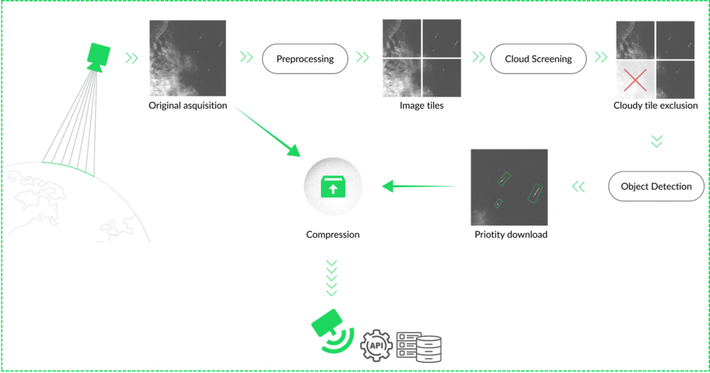
The principle of how SKAISEN works is described in the picture below. After the satellite collects imagery, SKAISEN processes the data and extracts valuable data only, which is then sent to Earth. This approach optimises downlink by minimising unnecessary data transmission and reducing latency.
There are several views on how to optimise data transfer to Earth. The most common approach is processing data before transportation. There are already available onboard data processing products in the market. The difference between them and SKAISEN lies in their reusability.
SENSOR INDEPENDENCE: While the existing products are operable, e.g., in the visible spectrum, SKAISEN is sensor independent, regardless of whether the optical sensor operates as monochromatic, RGB, multispectral or hyperspectral. The flexibility in choosing the right camera for the mission remains with the customer.
DPU INDEPENDENCE: Whether a single software solution or the entire payload is needed, SKAISEN offers both.
HERITAGE: SKAISEN demonstrated its first capabilities during the VZLUSAT-2 mission in the summer of 2022.
SKAISEN has completed the first phase, focusing on onboard cloud detection, and achieving Initial Release Status with validation in laboratory environments with two strategic validators. In the next phase, the product will be developed to present a comprehensive decision intelligence solution, addressing the growing demand for real-time actionable insights in latency-sensitive applications.


 Germany


 email
email  Facebook
  Twitter
  Linkedin
  Whatsapp
  Copy link