
 Data Analytics, Insights & Applications
  Data Processing & Visualisation
 HubCAP is an ‘Application Platform’ for the agriculture and environmental sectors. It is based on Copernicus data and the EO toolkit built by Compass Informatics Limited, making it a highly flexible system. It can be accessed directly through the platform or through a comprehensive API for monitoring via direct integration with existing administration systems.
HubCAP was envisaged as an application that would:
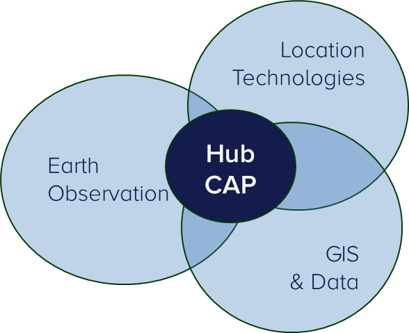
HubCAP demonstrates the ability to combine Compass Informatics’ expertise in EO, Location Technologies and GIS to deliver a user focused, application with the potential to deliver.
HubCAP is a robust and simple platform targeting users from Government Agencies, (CAP, non-CAP Paying Agencies and Environmental Agencies) and commercial clients. Users can access the benefits of Sentinel data in a fully supported, legally recorded and compliant manner. These user types are in constant need of custom land monitoring as Europe has a wide range of types of lands and therefore different monitoring needs.
All European countries
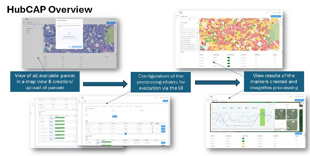
The HubCAP service consist of two modules, each with a differing start point:
1. EO Module Based upon results of other activities (Copernicus data Space Ecosystem, Agricultural monitoring needs) with an innovative EO algorithm for Grazing and Bare Soil Detection. The EO Module orchestrates the download, and processing of Sentinel-1 and 2 imageries, and the execution of markers against that data for specific land parcels. Processing is optimised for data reuse and stability.
2. Bureau Module Based on a validated user concept and actions derived from the EO module outputs. This includes a viewer to visualise the land use and land use change with interaction of several data widgets to allow visualisation of results. The Bureau module also allows users to configure processing runs in an intuitive manner, gives users transparency on progress of processing, and configuration of results display.
Overall, HubCAP is a scalable application for commercial engagement with public and private sector clients.

The HubCAP service is:
Simple – has an intuitive UI that allows non-expert users to initiate and schedule their assessments, supported by a comprehensive API for monitoring via direct integration with existing administration systems.
Wide – has an advanced dashboard for conducting bespoke ad-hoc local analyses with below advanced features:
Supported – Is fully supported and customer focused.
Transaction Certified – each classification ‘transaction’ is fully recorded and certified
Built for a mature ICT organisation
The project has been successfully completed.

 email
email  Facebook
  Twitter
  Linkedin
  Whatsapp
  Copy link