
 Data Processing & Visualisation
  Ground Networks & Data Distributions
  Ground Stations & Mission Management
  Payload
 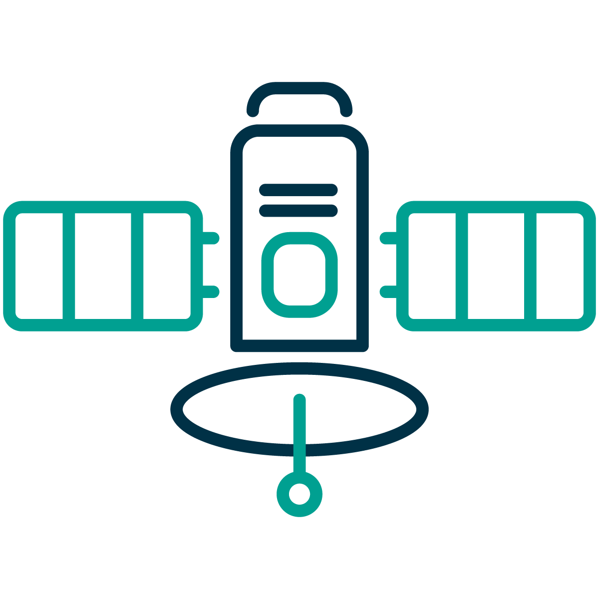 Platform
 GNSS Radio Occultation (GNSS RO) is a space-based remote sensing technique for studying the Earth’s atmosphere. It uses the atmosphere’s refractive properties, which bend radio signals from GNSS satellites as they reach a low Earth Orbit (LEO) receiver. This bending causes an additional Doppler shift, which, when compared to the expected shift in vacuum, allows the atmospheric contribution to be used to derive the bending angle.
The bending angle (along with impact parameter) is a key radio occultation observable, forming the basis for retrieving vertical profiles of atmospheric refractivity, temperature, pressure, and humidity. GNSS RO provides high vertical resolution, global coverage, and long-term stability, making it valuable for numerical weather prediction (NWP). Minimising latency between measurement and data assimilation is crucial for applications like nowcasting.
The Earth Atmospheric Remote Sensing via GNSS RO (EARS-GNSS RO) mission is developing a LEO satellite capable of determining key parameters of Earth’s atmosphere with high vertical resolution and low latency using the GNSS RO technique. Key aspects of the mission are:
The primary users of GNSS RO data from the EARS mission include:
These users engage with the activity through data assimilation, quality control feedback, and validation campaigns, integrating the data into forecasting, nowcasting, and climate monitoring workflows.
Users need timely, accurate atmospheric profiles with precise geolocation and low latency, along with reliable coverage and products compatible with existing operational and commercial systems.
Challenges include maintaining low latency and high quality, as well as managing the extra power required for on-board processing. In addition, the implementation of on-board precise orbit determination (POD) to compute real-time satellite positions with sufficient accuracy to ensure the quality of the calculated bending angles and atmospheric profiles poses further challenges.
The targeted customers/users are both commercial and scientific, spanning Europe, North America, and Asia.
The primary EARS product is low-latency, high-quality atmospheric data. The system is composed of the following main building blocks:
A block diagram of the complete end-to-end system, including the GNSS RO measurement context described in the product objectives, is shown below:

The EARS system combines advanced algorithms with optimised on-board hardware to enable Near Real-Time (NRT) processing of measured data directly on orbit. This innovative approach optimises downlink usage and significantly reduces data latency, allowing faster delivery of user-ready atmospheric products. Users interact with the product through cloud-based services, integrating the data directly into forecasting, nowcasting, and atmospheric analysis workflows.
The proposed solution delivers added value compared to existing GNSS RO services through innovations in processing, platform architecture, and European commercial sourcing.
Onboard near-real-time processing sets this solution apart from current missions relying on ground-based processing. By performing signal acquisition, processing, and atmospheric profile derivation on board a small satellite, data latency is reduced from hours to under 30 minutes. This enables operational use cases such as nowcasting, rapid-response meteorology, and aviation weather services.
Compact, scalable platform architecture based on a high-performance Software Defined Radio (SDR) with integrated on-board POD and processing allows deployment on small platforms, e.g., 8U-12U CubeSats. Distributed constellations can provide higher spatial and temporal coverage at lower cost.
European-origin commercial data source – the system enhances strategic autonomy, offering a resilient alternative to non-European providers and supporting institutional, regional, and potential dual-use applications.
The EARS project is currently in the de-risking phase, focusing on a detailed analysis of the market and customer requirements and the mission, payloads and system-level requirements. The subsequent activities focus on the definition of preliminary requirements and the architecture for the mission, payload, platform, and ground segment.


 email
email  Facebook
  Twitter
  Linkedin
  Whatsapp
  Copy link